
Wind and current charts have been the most important tool for planning large sea passages since the middle of the 19th century. The first systematic study of sailing routes and the weather conditions that influence them was compiled at the beginning of the century by a lieutenant in the US Navy. He is said to have pored over more than 1,500 logbooks in order to summarise the information gleaned from them in the pilot charts.

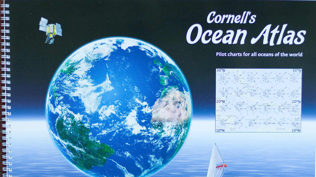
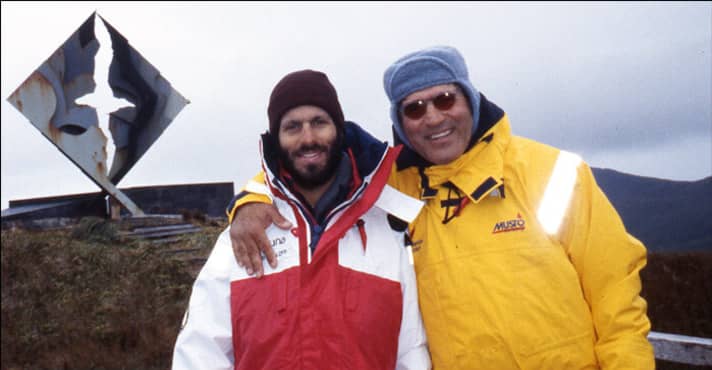
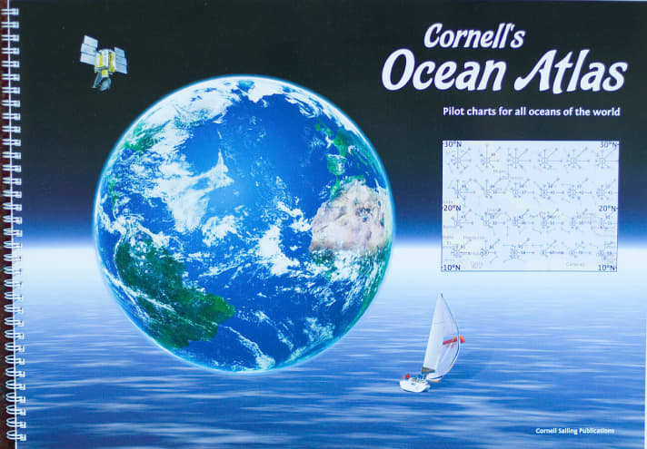
Some 160 years later, today's pilot charts are still based on the records of those days and are not, of course, entirely up to date. Jimmy Cornell, author of "Sailing Routes of the World" and founder of the Atlantic Rally for Cruisers (ARC), has therefore developed a new atlas together with his son Ivan, which reflects today's conditions much more accurately using Nasa weather records. The differences between the old pilot charts and the new "Atlas of the Oceans" are significant.
A quote from the new atlas:
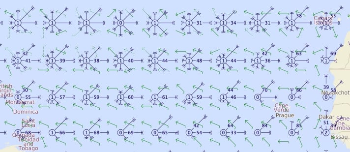
"A direct comparison shows how much the sailing conditions have changed since the 19th century. The differences are very clear: firstly north of the Galapagos, where NE winds predominate above the equator, and secondly south and west of the Galapagos, where the proportion of E and SE winds is significantly higher today than in the past. This may be due either to changes in weather conditions - or more likely to the fact that some of the earlier observations were not very accurate and were based on limited sources. The latter is especially true for remote areas, both in the tropics and in the high latitudes, where there have been fewer observers because they are away from commercial shipping routes."
YACHT: Mr Cornell, how did you obtain the new weather data as the basis for your atlas?
Cornell:They have been recorded by a network of meteorological satellites since 1987. My son Ivan is not only a passionate ocean sailor, but also a programmer and has developed a programme that puts the Nasa data into map form.
What was the goal?

To compile a collection of charts and information that we would have liked to have ourselves during our five circumnavigations. The result is a total of 60 pilot charts for every single month and for every ocean in the world. All of them show wind speed and direction, current strength and direction, the approximate extent of the Intertropical Convergence Zone (ITCZ), the most frequent tropical storm tracks and the average position of high-pressure cells for each hemisphere.
The atlas is therefore intended to simplify the planning of an ocean passage.
That's right. In addition to the maps, all the basic information about the oceans and advice for the crossing can be found in the margins. A circumnavigator once even said: "This atlas should be hidden away and kept a secret so that future sailors will have just as hard a time as we did."
The atlas is now available for 69 euros and can be ordered at www.cornellsailing.com can be ordered.
